How a Storm Begins: The Planet's Ultimate Energy Balancing Act
Updated 8/3/2026
1 views
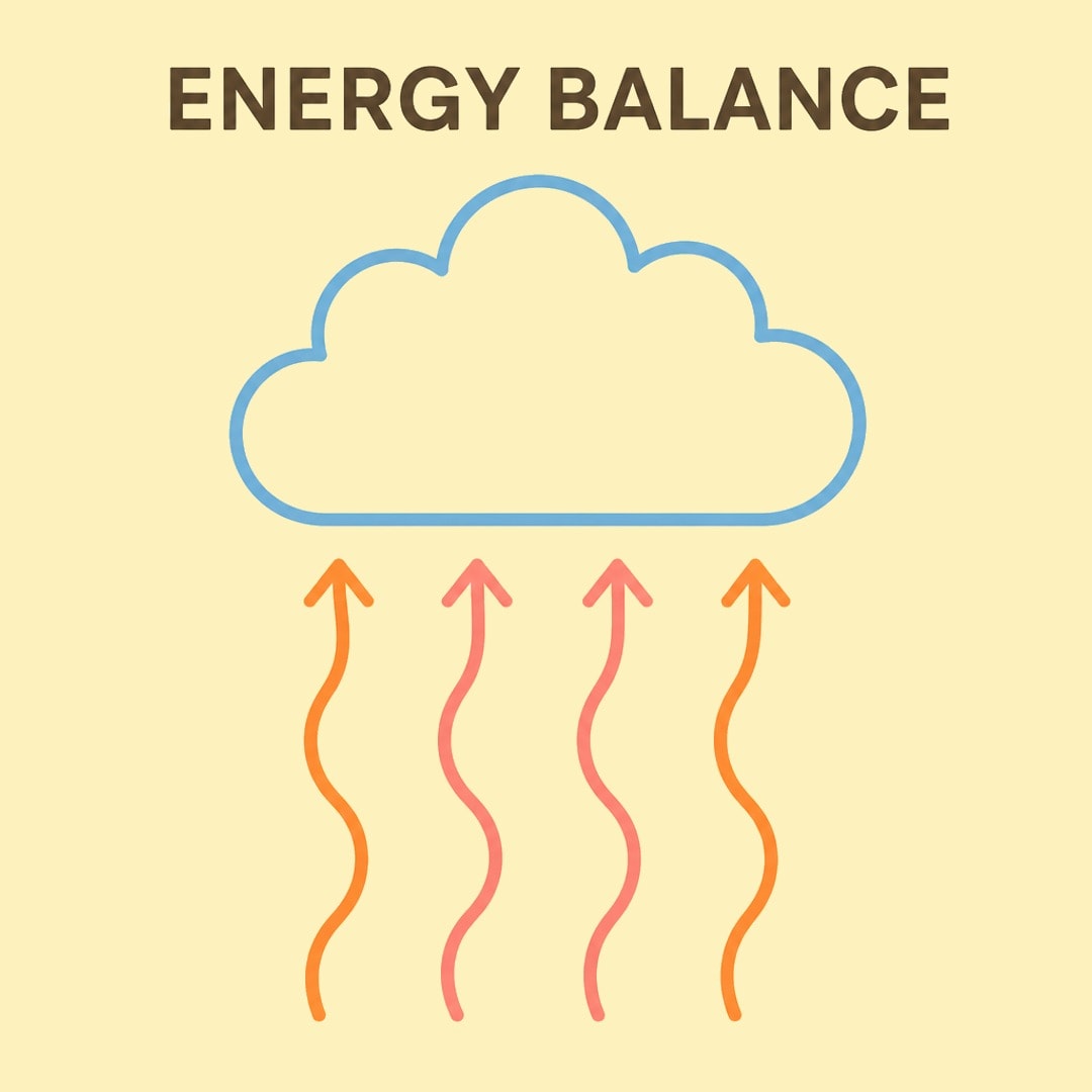
Every time a storm rolls across the sky, it is doing an important job for the entire planet. Think of a storm as Earth's natural way of balancing out its energy. The sun heats up different parts of the globe unevenly, leaving some regions baking and others cool. To fix this imbalance, the atmosphere sets into motion a complex chain reaction involving warm air, moisture, and pressure differences. When these ingredients mix, they create a high-energy machine that can produce anything from a brief afternoon downpour to a sprawling swirling weather system visible from space.
To understand how this happens, we have to look at the basic building blocks that make a storm possible. First, you need moisture. This is invisible water vapor in the air, usually pulled up from warm ocean surfaces or damp land where water evaporates quickly. Second, you need instability in the air. This means that the warm, wet air near the ground wants to float upward because it is lighter than the cooler air sitting high above it. Finally, you need a lifting action. Something has to give that warm air an initial push upward, whether it is the baking heat of the sun on a summer afternoon, a mountain blocking the wind, or a boundary where two different air masses smash together to force the lighter air skyward.
The Rising Spark of the Cumulus Stage
Once that warm air gets a push upward, the first phase of a thunderstorm begins, known as the cumulus stage. Moist air from a warm sea surface rises, cools, and forms a towering cloud, gaining energy as water vapor turns into droplets.
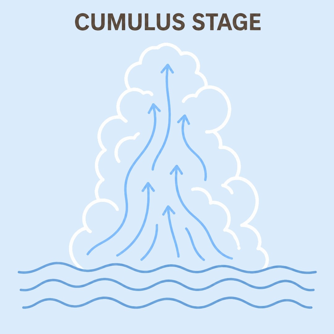
As this invisible water vapor cools down high in the sky, it turns back into liquid water droplets or tiny ice crystals through a process called condensation. This change of state is crucial because it releases hidden heat into the cloud, acting like a heater that makes the air inside the cloud even warmer and lighter than the air around it. That extra heat keeps the cloud pushing higher and higher into the sky, building a giant vertical chimney of rising air that pulls even more moisture from the ground below in a continuous loop.
The Peak Power of the Mature Stage
As the cloud continues to climb, it reaches the mature stage, which is the peak of the storm's power. The cloud grows until it hits a stable layer of the atmosphere, flattening out into a shape like a blacksmith’s anvil.
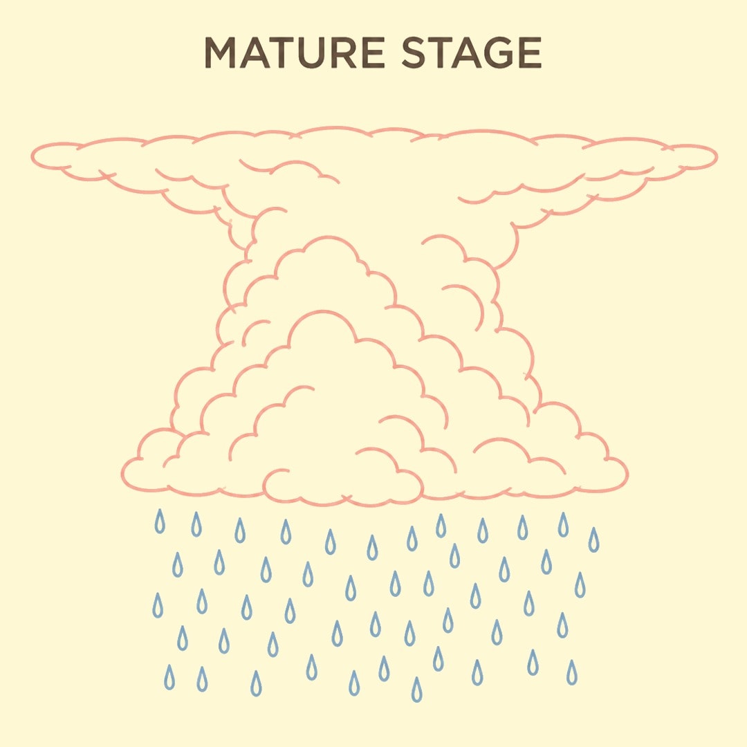
This flat top happens because the rising air has finally hit a layer of the atmosphere that is just as warm as it is, stopping it from going any higher and forcing the cloud to spread out sideways against the upper winds. Inside this giant anvil cloud, water droplets and ice crystals crash into each other violently because of strong internal updrafts and downdrafts. These constant collisions build up massive static electricity charges, which eventually discharge as bright flashes of lightning and loud cracks of thunder as positive and negative charges seek to neutralize each other.
The High-Energy Machine in Full Motion
This is when you get the heavy rain, wind gusts, and lightning. It's a high-energy machine that eventually runs out of steam.
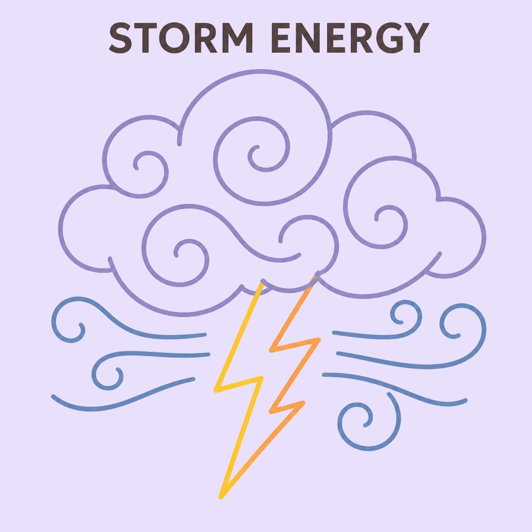
As millions of tons of water and ice become too heavy for the rising air to support, they start to fall toward the ground, dragging cold air down with them in what scientists call a downdraft. This creates a strong downward rush of wind that cools the ground below and spells trouble for the storm's fuel supply. Because the storm relies on a steady diet of warm, rising air from the surface, this cold, sinking wind acts like a heavy blanket cutting off the kitchen from the chef, choking off the warm updrafts that keep the storm alive.
The Quiet End in the Dissipating Stage
That cut-off brings on the final chapter of the storm's life cycle, known as the dissipating stage. Finally, in the dissipating stage, cool, sinking air takes over. It cuts off the supply of warm, rising air, and the cloud slowly breaks apart.
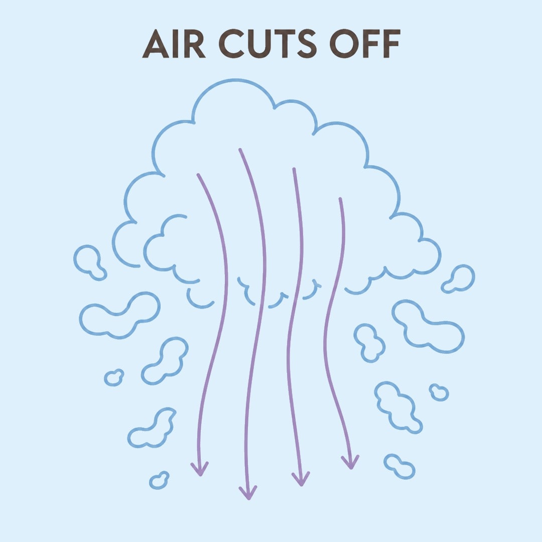
With the warm updraft completely choked off by the cold downdrafts spreading out below, the heavy rain begins to ease up into a gentle drizzle. The jagged edges of the towering cloud soften and fade away as the remaining moisture evaporates back into the surrounding air. The whole process for a single storm cell usually takes about thirty minutes from start to finish, leaving behind cooler air and a refreshed landscape that has successfully dumped its excess heat.
Scaling Up to Tropical Cyclones
When you scale this process up from a local afternoon shower to an ocean-spanning weather monster, you get a tropical cyclone. Tropical cyclones are even bigger, needing sea temperatures of at least 26.5 degrees Celsius—about 80 degrees Fahrenheit—to keep their massive engines running.
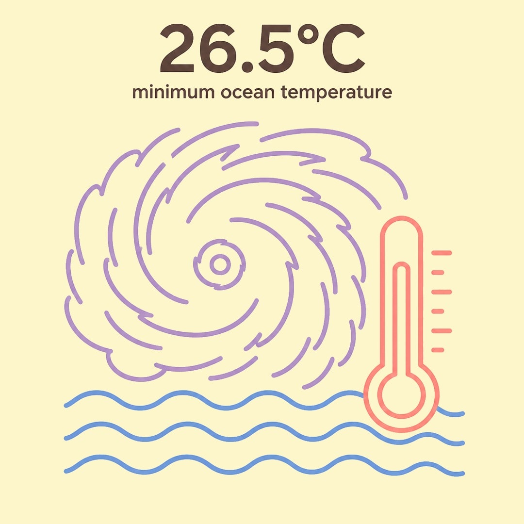
These massive storms also need the water to be deep enough over a span of many meters so the churning waves do not pull up colder water from the deep ocean, which would instantly starve the storm of its heat energy. They also rely on the natural spin of the Earth, known as the Coriolis effect, to help organize the swirling winds into a tight circle around a calm center called the eye. From the local summer thunderstorm to the sprawling cyclone, these events are just the atmosphere finding its balance.